Things discovered while on the road - The Historic Yellowstone Trail
I wandered away from Highway 7 in Minnetrista this year to peruse a new Lakeshore developement project under construction on the west side of Lake Minnetonka in Minnetrista. 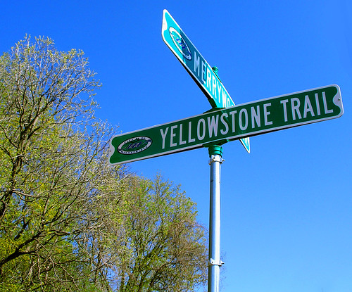
I discovered this new street sign. It's name a remnant of the Historic Yellowstone Trail, the first scenic automotive trail to span the United States circa 1912 - 1930. America had fallen in love with the automobile, and the great Northwest. Teddy Roosevelt had brought national attention to this fledgling National Park (est. 1872) with his adventures and hunting excursions.
http://www.yellowstonetrail.org/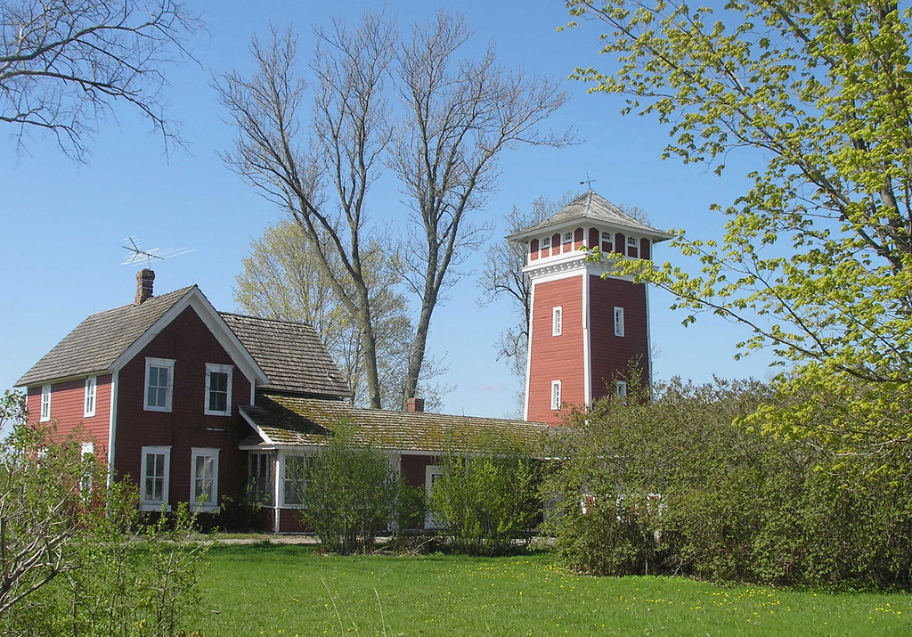
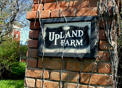
Another historic sign along the trail, the Upland Farm.
This about the trail from the Carver County Historical Society:
by Leanne Brown
In 1912, as the automobile became a more popular and practical mode of transportation, the Yellowstone Trail Association was formed. The purpose of the Yellowstone Trail, also known as the Great Highway of the Northwest, was to provide a sound road for travelers from Minneapolis to Seattle. Eventually, the Trail was extended east to Plymouth, Massachusetts.
The Yellowstone Trail passed through Carver County; specifically, Victoria, Waconia, Young America, and Norwood. The Trail loosely followed the roads that are now Minnewashta Parkway, Highway 5 and Highway 212. Because the Trail used already-existing roads, a system of mapping the Trail was created. At first, stones and telephone poles along the Trail were painted yellow. By 1919, however, metal Yellowstone Trail signs were posted along the route. The background of the sign was yellow and the arrow pointed toward Yellowstone National Park. 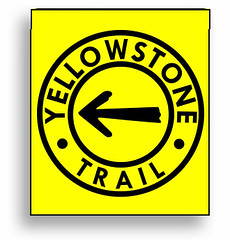 In a Trail brochure, travelers were told that "turns in the road are denoted by removing the arrow from the center of the mark and substituting 'R,' meaning right, and 'L' meaning left, denoting a turn in the direction indicated. Two R's or L's are used for each turn in the country, one being approximately one hundred yards before the turn is made, and the other at the turn."
posted by minnetonkafelix at 5:29 AM
![]()
![]()


2 Comments:
HI Felix! Stanton Sears is designing one of the Light Rail stations (should that ever happen.) You should appreciate this:
News from the Central Corridor world:
The Met Council recently chose five artists, at not more than $560,000 per artist, to take the lead in designing station art. Now they want committees -- we call them art critics -- to tell the artists what to do.
Interested? Go here.
http://www.metrocouncil.org/transportation/ccorridor/ArtCommApplications.htm
Speechless.
Post a Comment
<< Home